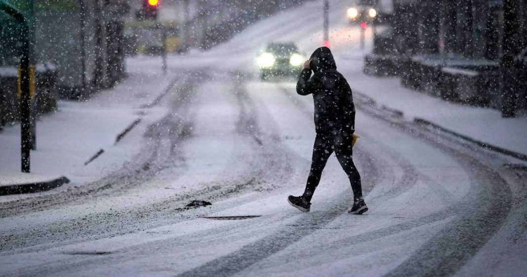
WXCharts’ latest weather maps indicate that a 169-mile stretch of the UK could be hit by snowfall in the coming weeks, with Scotland set to bear the brunt of the wintry weather
Brits might be in for an early taste of winter as advanced weather modelling maps predict snow flurries along a 169-mile stretch of the UK in the coming weeks.
WXCharts’ latest maps suggest that parts of Scotland, particularly the Scottish Highlands, could see snow between Monday, October 20, and Wednesday, October 22, with temperatures potentially dropping to around 0C. Snow flurries are expected to start from early Monday morning and continue until midday over the northern and western Highlands.
The chilliest conditions are forecast across a 169-mile stretch from Inverness to Glasgow. However, lowland areas like Edinburgh are likely to experience only cold rain.
Further south, the rest of the UK – including southern England, Wales and Northern Ireland – as well as Ireland, is predicted to be too mild for snow. Instead, England is set to experience widespread rainfall, with heavy showers covering Wales and the Midlands, according to WXCharts.
However, there’s a slim chance of some snow flurries falling across parts of England and Wales around the Pennines and on higher ground between Newcastle and Manchester. This could mean that showers turn wintry on Monday evening, although any snowfall is likely to be brief and confined to higher elevations, reports the Mirror.
The snowfall data is based on projections from Met Desk and has been shared on WXCharts, with similar forecasts also appearing on rival platform Ventusky. Predictions rely on the advanced GFS model system, according to Birmingham Live.
This follows predictions that snowfall could be ‘heavier than expected’ with up to 4in accumulating in certain areas. Weather charts for October 21 indicate that up to 10cm of snow is likely across the far north, with Scotland expected to face the worst of the wintry conditions.
The Met Office’s long-range outlook suggests that high pressure will be the dominant feature in the coming days, from Tuesday, October 14, to Thursday, October 23. The forecaster observes that the latter part of this timeframe shows indications of low pressure systems advancing from the west, though “details of any wetter and more unsettled weather are still very uncertain”.
From Thursday, October 24, to Friday, November 7, the Met Office predicts “changeable conditions across the UK with low pressure systems tending to dominate. Showers or longer spells of rain are likely at times, perhaps heavy in places. Temperatures will probably be close to normal.”
Meanwhile, conditions are anticipated to remain predominantly dry and stable. Friday’s outlook points to “largely settled” weather, “with variable amounts of cloud, but some sunny spells too, the best of any sunshine across the northeast. Thicker cloud and patchy rain across western Scotland.”
The weekend and Monday forecast states: “High pressure dominates into the weekend and Monday, bringing mostly dry conditions, light winds, sunny spells, and near-average temperatures, but with chilly nights and patchy fog. Near normal daytime temperatures.”
For the latest breaking news and stories from across the globe from the Daily Star, sign up for our newsletter by clicking here.
#Weather #maps #show #heavier #expected #snow #hit #coming #weeks


